

 Classic designer bags")


 Summer of Soccer")


Severe storms target millions across the Tennessee Valley ahead of possible Southeast coastal storm
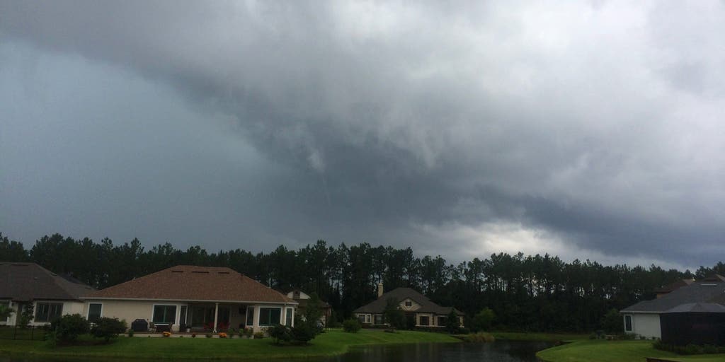
Millions across the Southeast are in the path of severe storms Monday, with the Tennessee Valley in the bull's-eye. Meanwhile, a non-tropical coastal storm could begin to form off the Carolina coast, just as the Atlantic hurricane season begins.
Millions across the Southeast are in the path of severe storms Monday, with Memphis, Tennessee and other parts of the Mid-South in the bull's-eye of a damaging wind threat. Meanwhile, a non-tropical coastal storm could begin to form off the Carolina coast, bringing the risk of beach erosion just as the Atlantic hurricane season begins.
ATLANTIC HURRICANE SEASON: WHAT TO KNOW ABOUT THE 2026 FORECAST
Severe thunderstorms rumbled across Missouri early Monday, producing an 82 mph wind gust at the Kansas City Downtown Airport.
The severe storm threat will reignite Monday afternoon across the Tennessee Valley, the Ozarks and parts of the Southeast. Strong wind gusts up to 60 mph will again be the main hazard, as well as large hail, with parts of the Ozarks, West Tennessee, northern Mississippi and northwestern Alabama under a Level 2 out of 5 risk of severe thunderstorms, according to NOAA.
Storms are expected to intensify into the early evening and a low-end flash flood threat covers parts of the Ozarks and the Mississippi and Tennessee valleys through Tuesday morning.
These severe storms are tapping into another plume of tropical moisture that has spread across the entire Southeast, producing downpours similar to those seen last week.
South of Monday's thunderstorm threat, heavy rain is forecast to develop over southeast Georgia and parts of North Florida, including Jacksonville through Tuesday. This latest round of rain will continue to help ease extreme drought conditions across this region.
The FOX Forecast Center is also monitoring a non-tropical area of low pressure that could begin to form off the Carolina coast on Tuesday, as the severe weather system moves offshore and interacts with a cold front near the East Coast.
HOW HIGH PRESSURE AND LOW PRESSURE DRIVE THE WEATHER
Currently, forecasters believe this system will pull away from the coast and track into the Atlantic, with most of the rain remaining offshore.
However, this track can still create rough surf, cause minor beach erosion and increase the risk of dangerous rip currents.
Those impacts were evident last hurricane season, when major hurricanes Erin, Humberto and Imelda caused significant beach erosion along the Carolina coast despite remaining offshore and contributed to the collapse of several homes along North Carolina's Outer Banks.
The forecast does not call for any coastal flooding from this system.
FLASH FLOOD THREAT CONTINUES ACROSS FLORIDA, SOUTHEAST AS TROPICAL DOWNPOURS BRING DROUGHT RELIEF
An area of high pressure will build over the Northeast and serve as a shield for most of the East Coast from any rain and help steer this storm out to sea.
Stay tuned to FOX Weather as we continue to track the potential impacts over the next few days.
The post Severe storms target millions across the Tennessee Valley ahead of possible Southeast coastal storm appeared first on Fox Weather


