

 Classic designer bags")


 Summer of Soccer")


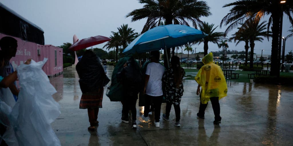
Severe storm ingredients fuel possibility of tropical development late next week along Gulf of America
The FOX Forecast Center is eying possible development of tropical storms in the coming weeks for areas along the Gulf Coast and the Bay of Campeche.
The FOX Forecast Center is eying possible development of tropical storms in the coming weeks for areas along the Gulf Coast and the Bay of Campeche.
By next week, forecasters are monitoring a large-scale weather pattern featuring an upper-level low, with a split in the mid-level ridge and troughing extending far into the southern U.S.
According to the National Weather Service, a trough is a lengthened area of relatively low atmospheric pressure and is usually not associated with a closed circulation.
SPRING SEVERE WEATHER SEASON SEES FEWEST NUMBER OF TORNADO DEATHS IN 5 YEARS
This trough introduces a weakness to the ridge that spans across the Gulf. At the same time, the ridging will extend into the Caribbean and establish a strong southerly flow from the Eastern Pacific and into the Gulf of America.
This could bring tropical moisture to northern portions of the country, potentially supporting severe storm development.
Forecasters are also seeing signals that a broad area of spin across the Central U.S. could return into next week, which could aid in tropical storm development.
SLITHERING TOWARD EXTINCTION: DEADLY DISEASES COULD WIPE OUT RATTLESNAKE POPULATION
"This is typically referred to as the Central American Gyre and is a sprawling area of low pressure that can produce locally heavy rain and aid in the formation of tropical cyclones," the FOX Forecast Center said.
This is most typical in late spring and early fall. Because of this, it does not guarantee tropical development.
"The greater interest stems from the upcoming hurricane tracking near the East Pacific coast and what may follow behind it, the FOX Forecast Center said.
ATLANTIC HURRICANE SEASON IS OFFICIALLY UNDERWAY: WHAT TO KNOW ABOUT THE 2026 FORECAST
As the ridge builds, the atmospheric flow could help draw a substantial plume of tropical moisture northward.
As a result, above-average rainfall is becoming increasingly more likely across portions of the Gulf Coast.
Given this upper-level pattern, energy from the Eastern Pacific could cross into the Gulf, further enhancing moisture in the region.
NEXT TROPICAL THREAT LURKS NEAR MEXICO AS TROPICAL STORM AMANDA CHURNS IN THE EASTERN PACIFIC
Forecast models expect this development to form into late next week, but uncertainty remains about whether severe storms will develop.
BEYOND SUPER EL NIÑO: THE SECRET OCEAN PATTERN THAT COULD FUEL HURRICANES IMPACTING HAWAII THIS YEAR
Still, one thing is certain: the ingredients are beginning to come together and are worth monitoring for the coming days.
The post Severe storm ingredients fuel possibility of tropical development late next week along Gulf of America appeared first on Fox Weather


