



Thunderstorms, humidity to grip Ohio Valley, East Coast as multiday storms place millions under flood threat
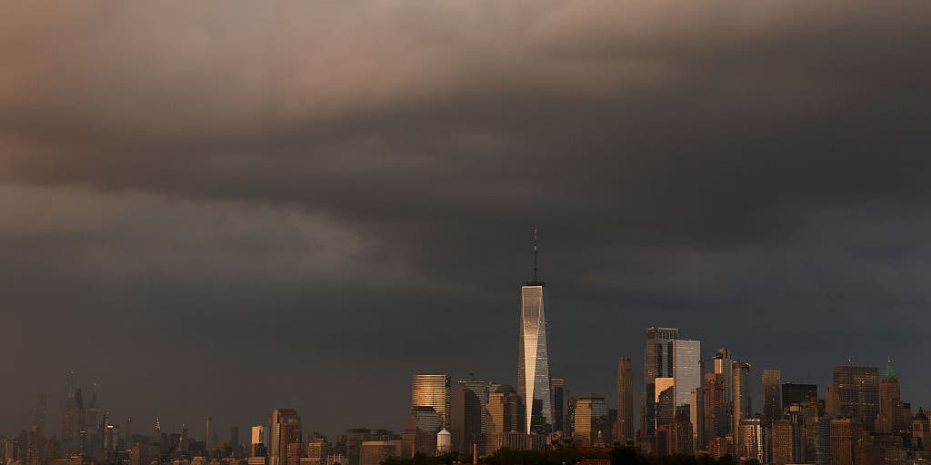

Humid conditions and daily thunderstorms are expected to return for millions in the Ohio Valley and Northeast from Wednesday night through Sunday, bringing a flash flood risk, particularly in areas that saw heavy rain Monday and last week.
Humid conditions and daily thunderstorms are expected to return for millions in the Ohio Valley and Northeast from Wednesday night through Sunday, bringing a flash flood risk, particularly in areas that saw heavy rain Monday and last week.
Humidity is already building across parts of the Mid-Atlantic, including Washington, D.C. and Philadelphia, and will arrive in the Northeast later Wednesday.
The cold front that brought heavy rain and flooding across the Midwest is slowly shifting east. Ahead of the front, thunderstorms will develop across the Ohio Valley through the day before reaching the East Coast by Wednesday night.
According to the FOX Forecast Center, rainfall rates of up to 2.5 inches per hour will be possible within the strongest storms.
On Thursday, NOAA's Weather Prediction Center (WPC) issued a broad Level 1 out of 4 risk of flash flooding for much of the Ohio Valley and interior Northeast, including Cleveland, Buffalo, New York, and Pittsburgh.
Washington, D.C. and New York City are also included in this flood risk.
HOW HIGH AND LOW PRESSURE DRIVE THE WEATHER
An area of high pressure off the East Coast is drawing moisture northward from the Gulf and Atlantic, increasing humidity and helping fuel daily afternoon thunderstorms.
Even stronger thunderstorms could erupt along the Northeast and Mid-Atlantic coasts on Friday as the cold front stalls across the eastern U.S.
"Through the weekend, rainfall totals of 0.5-1 inch are likely across the Northeast and Mid-Atlantic, with localized amounts exceeding 1-2 inches where thunderstorms repeatedly move over the same locations," the FOX Forecast Center said.
The flash flood threat extends across parts of the region through the weekend and those with outdoor plans will have to contend with rounds of rain.
This follows torrential downpours that slammed the Northeast Monday amid an already stormy summer for much of the region.
Albany, New York, has recorded more than 5 inches of rain above average this summer, following a Flash Flood Emergency that swamped parts of the state's Capital Region last week.
Bridgeport, Connecticut, has seen more than 7 inches of rainfall above average since June 1.
The stormy pattern is expected to ease Sunday evening.
The post Thunderstorms, humidity to grip Ohio Valley, East Coast as multiday storms place millions under flood threat appeared first on Fox Weather