



Ridge-riding severe storms, intense heat firing up across Midwest, Northeast through next week
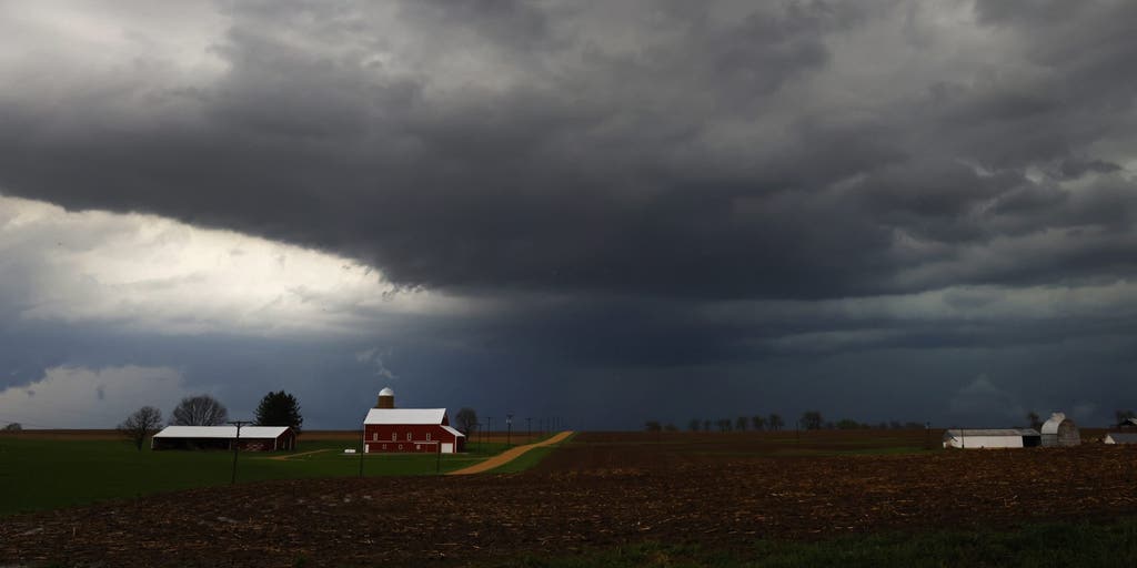

After a week full of nasty weather across portions of the U.S., ridge-riding severe storms are making a return to the Upper Midwest this weekend.
After a week full of nasty weather across portions of the U.S., ridge-riding severe storms are making a return to the Upper Midwest this weekend.
The FOX Forecast Center is monitoring storms that are forecast to bring large hail and damaging wind gusts to the Midwest on Friday. The storms will continue through the overnight hours to kick off the weekend through the start of next week.
WHAT IS A HEAT DOME AND HOW CAN IT AFFECT YOU DURING THE SUMMER MONTHS?
By Saturday, there will be a brief break in severe weather, as a series of disturbances along the northern U.S. will build a heat dome, keeping rounds of rain and severe weather in place through the end of the month.
Despite this, forecasters are unsure where the heat dome will settle, which will ultimately determine which areas experience severe storms and intense summer heat.
By Sunday, the Great Lakes region and other areas along the Canadian border will experience a developing low-pressure system along the perimeter of the heat dome, which will combine with a surge of moisture from the Gulf.
2 DEAD IN WEST VIRGINIA AFTER CATASTROPHIC FLOODING SLAMMED THE STATE, TRIGGERING STATE OF EMERGENCY
"High instability and strong lower-atmospheric winds will fuel severe storm development by late afternoon, with damaging wind gusts serving as the primary threat," the FOX Forecast Center said.
As a result, a Level 2 out of 5 severe storm risk is in place for Sunday across Minnesota, northern Iowa and western Wisconsin.
The storm risk will continue through Monday, as another round of storms is expected to develop across major cities, including Chicago, Detroit, Indianapolis and Cleveland.
If the severe storms weren’t enough, there is also a risk for flash flooding across the Midwest.
OVER 20 MILLION AMERICANS FACE DANGEROUS FLOOD THREAT AS HEAVY RAINS BATTER CAROLINAS, MID-ATLANTIC
Rain totals will generally be around 1 to 2 inches, with localized heavier amounts where storms repeatedly hang out over the same areas.
Surging Gulf moisture will also drive up rain totals across the Northeast, where saturated soils could heighten the overall flood potential, the FOX Forecast Center said.
The moving storm system will bring a return of wet weather to portions of the Northeast and Mid-Atlantic by Tuesday and Wednesday, with rain totals generally around 1 to 2 inches.
While it seems like it has rained every weekend along the immediate East Coast, much of the region remains under ongoing drought conditions.
Be sure to check with FOX Weather all weekend long as we monitor the developing weather conditions.
The post Ridge-riding severe storms, intense heat firing up across Midwest, Northeast through next week appeared first on Fox Weather