



Millions across Upper Midwest face destructive winds, flooding as summer storms threaten the region
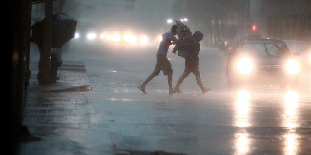


Rounds of summer thunderstorms will sweep across the Upper Midwest and Northern Plains, threatening more than 3 million people with destructive wind gusts, while heavy rain raises a growing flash flood threat through Thursday.
MINNEAPOLIS — Rounds of summer thunderstorms will sweep across the Upper Midwest and Northern Plains, threatening more than 3 million people with destructive wind gusts, while heavy rain raises a growing flash flood threat through Thursday.
This follows severe storms that blasted across northern Minnesota on Monday, where the NOAA's Storm Prediction Center (SPC) received at least six preliminary tornado reports.
ROOF COLLAPSE REPORTED AT BJ'S WHOLESALE CLUB DUE TO FLOODING IN NEW JERSEY
Emergency shelters opened in Detroit Lakes, Minnesota, on Monday for residents displaced by the storm. Tornado survey crews from the National Weather Service (NWS) will survey the damage in Detroit Lakes later Tuesday.
KNOW YOUR FLOOD TERMINOLOGY: WHAT FLOOD WATCHES, WARNINGS AND EMERGENCIES REALLY MEAN
Meanwhile, communities in Walworth County, Wisconsin, including Lake Geneva, were still cleaning up debris and storm damage early this week after severe thunderstorms struck on July 3.
Early-week storms have begun to saturate the ground, setting the stage for flash flooding as storms track over the same area through the week.
Persistent thunderstorms will develop in the afternoons around a ridge of high pressure over the Central U.S. through Thursday.
This setup will create a "training" effect across the Upper Midwest. "Much like boxcars on a train track, individual thunderstorm cells will pass over the exact same piece of land, one after the other," the FOX Forecast Center said.
NOAA's Weather Prediction Center (WPC) has issued a Level 2 out of 4 flash flood threat for eastern North Dakota and South Dakota, as well as Central Minnesota, including Minneapolis, on Tuesday through Wednesday morning.
This also includes Duluth and Green Bay, Wisconsin.
A Level 2 severe storm risk is in place Tuesday in some of the same areas across South Dakota, western Minnesota and Minneapolis. Damaging wind gusts up to 75 mph are expected to be the main hazard.
On Wednesday, the threat will shift south across a corridor from the Central Plains to southern-central Wisconsin.
By Thursday, widespread rainfall totals of 1 to 2 inches are expected across parts of the Upper Midwest, including Minneapolis, Duluth, and Marquette, Michigan, with localized pockets of 3-5 inches.
Stay with FOX Weather for the latest.
The post Millions across Upper Midwest face destructive winds, flooding as summer storms threaten the region appeared first on Fox Weather