


 Alexa+ Free with Prime get Nikki")


NOAA launches new weather forecast system to improve air travel safety
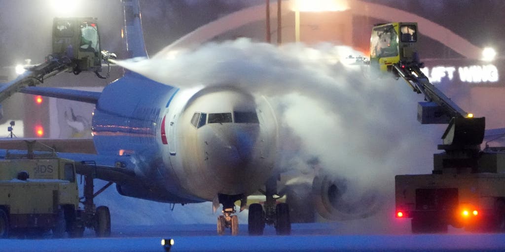
NOAA will utilize a new weather forecasting system starting in March to improve the prediction of aviation hazards that pose risks to flight safety, including airplane icing and turbulence.
The National Oceanic and Atmospheric Administration (NOAA) is utilizing a new weather forecasting system to improve the prediction of aviation hazards that pose risks to flight safety, including airplane icing and turbulence.
The new Domestic Aviation Forecast System (DAFS) will generate more detailed forecasts of icing and turbulence, giving pilots real-time information about the changing weather conditions while in the air.
FINAL PREPARATIONS UNDERWAY FOR THE LAUNCH OF NASA'S ARTEMIS II SPACE MISSION
"This is the culmination of extensive research and years of work that gets right to the heart of our aviation forecast mission: supporting passenger safety and the aviation industry," Terra Ladwig, acting chief of NOAA Global Systems Laboratory’s Assimilation, Verification, and Innovation Division, said.
The tool will not only forecast the likelihood of icing and its severity, but also enhance turbulence predictions, including low-level turbulence near the ground, clear air turbulence that is difficult to detect, mountain wave turbulence and turbulence within clouds and storms.
NOAA'S STORM PREDICTION CENTER DEBUTS REVAMP TO SEVERE WEATHER OUTLOOKS THIS SEASON
"Improving prediction of turbulence and icing will strengthen NOAA's ability to provide critical flight safety information to the Federal Aviation Administration (FAA) and the aviation community," Joshua Scheck, aviation support branch chief for NOAA's Aviation Weather Center, said.
According to NOAA, the new DAFS was developed with funding from the FAA Aviation Weather Research Program.
The tool is based on an advanced operational regional forecast model, the High-Resolution Rapid Refresh (HRRR), which was designed to track severe weather events.
"The DAFS is another example of how NOAA continuously works with the FAA to deliver the most accurate, timely, and useful aviation forecasts," Scheck said.
ATLANTIC 2026 HURRICANE SEASON COULD SEE MAJOR IMPACTS FROM POTENTIALLY STRONG EL NIÑO
The system updates its forecast every hour on a 1.8-mile surface grid and divides the atmosphere into 50 layers from the ground to high altitude. It also ingests three-dimensional radar data every 15 minutes to improve its predictions.
Previously, icing and turbulence guidance were generated by numerical weather models that updated hourly on an 8-mile surface grid. Now, icing and turbulence forecast updates will be more precise.
"The enhanced horizontal and vertical resolution provides more detailed forecasts, which potentially gives pilots more options to navigate around hazards," Curtis Alexander, GSL’s deputy director, said.
The post NOAA launches new weather forecast system to improve air travel safety appeared first on Fox Weather


