



El Niño continues to strengthen to record territory, increased odds of reaching 'Super' status by year's end
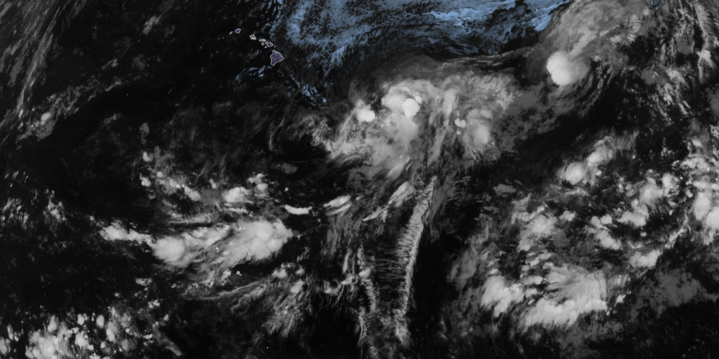

El Niño conditions have strengthened significantly in the Central Pacific, now with a 69% chance of reaching historic strength between October and December 2026, according to NOAA.
THE TAKEAWAY
• This El Niño has a 69% chance of becoming the strongest El Niño since record keeping began (1950)
• El Niño can have a major impact on the hurricane season across the Northern Hemisphere, in addition to a host of other global weather impacts
• A record-breaking El Niño event could produce atmospheric impacts never before seen
El Niño conditions have strengthened significantly in the Central Pacific, now with a 69% chance of reaching historic strength between October and December 2026, according to NOAA.
El Niño is typically associated with reduced tropical cyclone activity in the Atlantic Basin and increased storm activity in the Eastern and Central Pacific basins, along with a host of other weather impacts around the world outside of hurricane season.
El Niño is one of three phases of a climate cycle called the El Niño-Southern Oscillation (ENSO). It describes natural temperature changes in the central Pacific Ocean that alter atmospheric circulation and can greatly influence global weather.
El Niño describes warmer than average water across the equatorial Pacific, while La Niña describes colder than average water conditions, and ENSO neutral refers to a state where temperatures are close to average.
WHAT’S THE DIFFERENCE BETWEEN A TROPICAL DEPRESSION, TROPICAL STORM AND HURRICANE?
During El Niño, above-average water temperatures in the central and eastern Pacific Ocean alter the position and strength of the subtropical jet stream. It's typically more robust and extends well into the Caribbean and Atlantic Ocean. Think of the subtropical jet stream as a belt of very fast winds high in the atmosphere.
It's these strong winds that hinder tropical development in the Atlantic during an El Niño. Calm conditions are generally more conducive to hurricane formation.
Meanwhile, in the Pacific, the script is completely flipped.
EL NIÑO SURGES TOWARD 'MONSTER' TERRITORY, SIGNALING AN ACTIVE WINTER FOR EAST AND WEST COASTS
"Because El Niño concentrates its deepest pool of warm water and lowest wind shear across the central and eastern Pacific, it transforms that basin into a hyper-fueled engine for major hurricanes and monster typhoons," the FOX Forecast Center said.
When water temperatures in the El Niño zone reach at least 2 degrees Celsius above average for at least three consecutive months, it is considered a Super El Niño. These events are not as common as a typical El Niño and have a massive influence not only on the Atlantic hurricane season, but also other weather patterns around the globe.
El Niño conditions have already taken hold, with water temperatures in the El Niño zone already 1.4 degrees Celsius above average across July.
According to NOAA's August forecast released Thursday, there is a 90% chance that this El Niño will rank among the strongest on record this fall and winter, up from an 81% chance in its July outlook.
This corresponds to NOAA's updated 2026 Atlantic hurricane season forecast, where scientists cited a very strong El Niño as the main driver for an expected below-average Atlantic hurricane season this year.
In that same forecast, the agency cautioned that a record-breaking El Niño event could produce atmospheric impacts never before seen.
"A strong event could have different impacts than those traditionally observed as opposed to similar impacts with greater intensity," NOAA said.
Outside its impact on hurricane season, El Niño also has a strong effect on winter weather across the Lower 48.
The post El Niño continues to strengthen to record territory, increased odds of reaching 'Super' status by year's end appeared first on Fox Weather