
 Classic designer bags")


 Summer of Soccer")


Severe storms to drench Gulf Coast, Southeast with potential for damaging winds, large hail and flash flooding
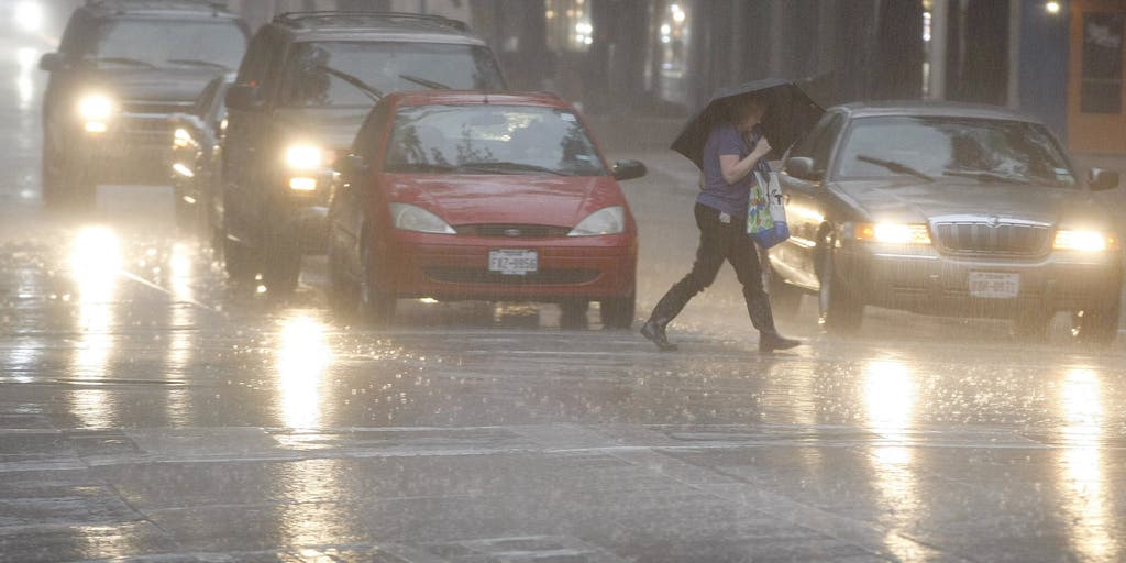
A final round of severe storms will drench parts of the Gulf and Southeast Coasts Monday, bringing a renewed flash flood threat for the Interstate 10 corridor after severe weather lashed the entire region over the weekend.
A final round of severe storms will drench parts of the Gulf and Southeast Coasts Monday, bringing a renewed flash flood threat for the Interstate 10 corridor after severe weather lashed the entire region over the weekend.
Parts of Louisiana, Mississippi, Alabama and Georgia have already picked up 3 to 6 inches of rain, setting the stage for additional flash flooding.
NOAA's Storm Prediction Center (SPC) has issued a Level 1 out of 5 risk of severe thunderstorms from the Carolina coast through Florida's Atlantic Coast. Storms in this area are expected to develop late Monday morning and last through the afternoon.
A second Level 1 threat covers the Gulf Coast from Lake Charles, Louisiana to the western edge of the Florida Panhandle. These storms will develop later Monday afternoon and bring the greatest flood threat along the I-10 corridor from New Orleans to Jacksonville, Florida.
Damaging wind gusts and hail will be the primary hazards with any severe thunderstorms that form.
SEE IT: MISSISSIPPI DRONE VIDEO REVEALS DEVASTATION LEFT BEHIND BY TORNADO IN BOGUE CHITTO
This comes after significant severe weather erupted across the southern Plains and Lower Mississippi Valley on Mother’s Day, producing giant hail and destructive winds.
NOAA's Weather Prediction Center (WPC) has issued a Level 1 out of 4 threat for flash flooding, encompassing most of southern Louisiana through the Mobile area through Tuesday morning.
By Tuesday, this weather system is expected to shift into Florida. However, these storms are expected to be less intense and the rainfall will help ease Extreme and Exceptional Drought conditions ongoing across the state, as reported by the latest US Drought Monitor.
Despite localized flooding, the heavy rain this weekend has helped put a dent in the widespread drought ongoing across the entire Southeast.
This severe weather pattern is typical for the month of May — when the region often sees its most frequent severe storms and tornadoes.
The post Severe storms to drench Gulf Coast, Southeast with potential for damaging winds, large hail and flash flooding appeared first on Fox Weather


